"Where in the USA is Carmen SanDiego?" While the game might've helped you learn geography, it won't help you now! Carmen's ditching you today and you have to prove yourself. There's tons to know when it comes to U.S. geography, but very few people actually know the facts. Do you? Prove that you're a total genius by getting at least 28/35 on this quiz!
The United States is the third most populated and third largest country in the entire world. With these numbers, you can expect that it would have a vast range of geography to learn. Millions of people from around the world travel to see some of the U.S.'s most famous landmarks like the Statue of Liberty, Golden Gate Bridge and Mount Rushmore. You'll find that national marks such as Yosemite and Yellowstone bring in the nature lovers. While these are some of the United States' greatest geographical landmarks, one can't forget about the ones that don't receive as much attention. While Niagara Falls is a common site, we can't forget about the Finger Lakes or the Missouri-Mississippi rivers. These natural sites are just as important as the man-made one, but we're here to find out how much you know about them.
From Golden Gate Bridge to the Appalachian Mountains, can you prove that you're a total genius with this U.S. geography quiz? Let's find out!
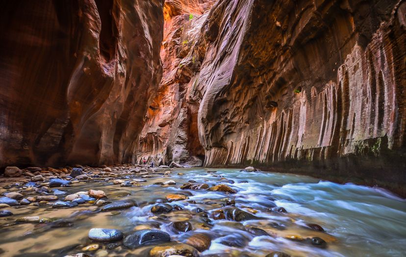
In New York, there lies a group of 11 lakes. What body part are they named after?
Legs
Arms
Fingers
The Finger Lakes are 11 lakes that lie in northern New York. They can be found between the cities of Syracuse and Rochester.
While Hawaii might be the southernmost point of the entire United States, it is not part of the continuous or continental United States. The southernmost point of the continental United States lies in Florida.
A state's largest city is often thought to be that state's capital. This is rarely true! Which of the following states has a capital that is not its largest city?
Colorado
Arizona
New York
New York's biggest city is New York City while its capital is Albany. In fact, New York City is the largest city in the United States. The remaining capitals of Denver (Colorado), Phoenix (Arizona), and Atlanta (Georgia) are those state's capitals as well as its biggest city.
Which of the following states was not one of the thirteen colonies?
Ohio
New Jersey, New York and South Carolina were all part of the thirteen original colonies. Ohio did not become a state until 1803, becoming the 17th state.
Don't get fooled. While the contiguous U.S. has four time zones, don't forget about Alaska and Hawaii. The six official time zones are (from west to east): Hawaii-Aleutian STZ, Alaska STZ, Pacific, Mountain, Central, and Eastern.
What is the largest mountain range in the United States?
Appalachian Mountains
Sierra Nevada
Alaskan Range
Rocky Mountains
The Rocky Mountains are the largest mountain range within the United States. It begins north in Canada and travels down to New Mexico. The mountains cover six states including Montana, Colorado, and Utah.
Washington D.C. has a greater population than which of the following states?
Alaska
Rhode Island
Wyoming
Washington D.C. is such a populous city that is has a population greater than Wyoming and Vermont. Washington, D.C. has a population of just over 693,000 while Wyoming's population lies around 620,000.
New York City is the largest city in the United States. It is made up of how many boroughs?
3
4
5
New York City is the largest city in the United States as well as the most populous. It is made up of five boroughs: Manhattan, Queens, Brooklyn, the Bronx and Staten Island.
What is the time difference between the Eastern Time Zone and Mountain Time Zone?
1 hour
2 hours
Each time zone is an hour difference as you travel east or west. There is a two-hour difference between the Eastern Time Zone and Mountain Time Zone. If it is 10AM in New York City, it would be 8AM in Denver, Colorado.
There are thirteen states that share a border with Canada. Which of the following states is one of them?
Oregon
Indiana
Wisconsin
Minnesota
There are 13 states that share a border with Canada. They are: Alaska, Washington, Idaho, Montana, North Dakota, Minnesota, Michigan, Ohio, Pennsylvania, New York, Vermont, New Hampshire, and Maine.
Rhode Island is the smallest state in the United States. At only 1,212 square miles, Rhode Island can fit into Alaska, the biggest state, up to 425 times.
Which state has one of the Great Lakes named after it?
Ohio
Michigan
There are five Great Lakes, only one of them named after a state, which is Michigan. Lake Michigan is the only Great Lake that lies entirely within the United States.
The Mississippi River empties into what body of water?
Caribbean Sea
Gulf of Mexico
The Mississippi River is the second longest river in the United States. It begins in northern Minnesota and runs for over 2300 miles before emptying into the Gulf of Mexico.
Which of the following states is split between two time zones?
Texas
There are quite a few states that are separated between two time zones. Oregon is just one of many. It is split between the Pacific and Mountain time zones. A few other states that lie in two time zones are Florida, Indiana, Texas, and Nebraska.
There are five Great Lakes. What word is used as an acronym to remember them?
HILLS
ROADS
HOMES
There are five Great Lakes that lie between the United States and Canada. The acronym used to remember them is HOMES for: Huron, Ontario, Michigan, Erie, and Superior.
When a state is said to be landlocked, that mean it doesn't come in contact with a bay, gulf, or ocean. There is only one state that is TRIPLE-landlocked. Which is it?
Iowa
Colorado
Nebraska
There is only state that is triple-landlocked and that is Nebraska. This means that one would have to travel through three states to reach a bay, gulf, or ocean.