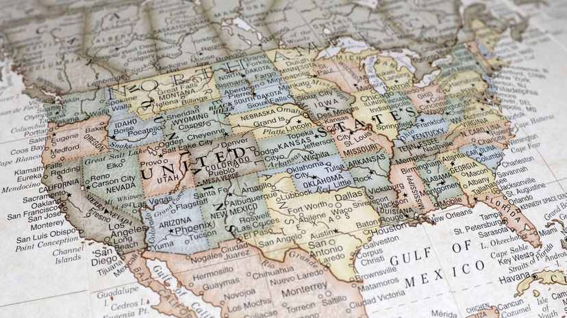
Here's your chance to test your U.S. geography aptitude! Take this geography test to see how many of the 50 states you can identify on a map. We give you plenty of clues to make a wise guess. When was the last time you studied a map? A great photographic memory will come in handy for this mental visualization feat!
It's the strangely-shaped states that will help you the most. States like West Virginia, Idaho, Maryland and Florida are super easy to recall because of their unique shapes. But for box-shaped states, like Wyoming, South Dakota and Oregon, knowing specific facts about these states will probably win you more answers. In this quiz, you'll learn how certain states received their peculiar contouring; bodies of water and mountainous terrain greatly assisted cartologists in determining the configurations of many U.S. states. Then again, some state borders lie in the middle of major waterways. It makes you wonder how those boundaries were drawn. Perhaps they used water-resistant ink in those days.
You'll get to ponder these intriguing details in just a few scrolls. How much U.S. territory can your brain master?
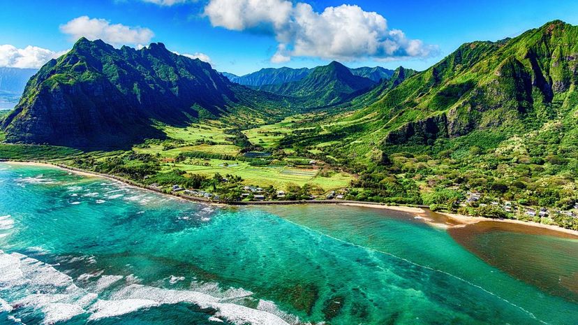
Doug van Kampen, van Kampen Photography / Moment / Getty Images
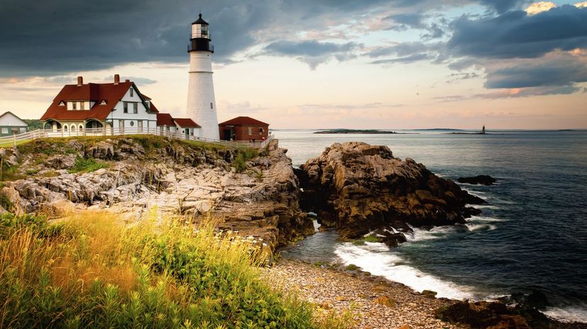
Which state is posted at the northeastern-most part of the United States?
Alaska
Maine
Maine is the largest New England state by land area in the northeast region of the United States. Canadian territory surrounds the state's northeast and northwest boundaries.
Which eastern U.S. state has land masses for an upstate region, a midsection for Westchester County, and a smaller region at the base for the state's five boroughs and Long Island?
Ohio
Florida
New York
The Hudson River spans New York state from as far south as Brooklyn and Staten Island to as far north as Henderson Lake. New York state sits immediately north of Pennsylvania and New Jersey.
This is the 50th state in the union and it consists of islands. What is its name?
South Dakota
Hawaii
Hawaii is a volcanic state nestled in the Pacific Ocean and west of the 48 contiguous U.S. states of North America. Honolulu, the state's capital city, is located on the island of Oahu.
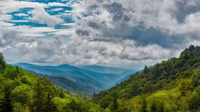
ShutterRunner.com (Matty Wolin) / Moment / Getty Images
This state's largest city sits along the western bank of Lake Michigan, and Wisconsin shares a border. Can you name the mystery state?
New Hampshire
Massachusetts
Indiana
Illinois
Springfield, Illinois is the state's capital city, which is located in its western-central region. Illinois borders Indiana to the west, Wisconsin to the south, and Iowa and Missouri to the east.
Which U.S. state along the eastern coastline is the midway point between New York to its north and Florida to its south?
Oregon
Washington
North Carolina
Chowan River and Pamilico River are just a few of the streams that pierce North Carolina's inner coastal region on the state's eastern border, which it shares with the Atlantic Ocean. North Carolina's capital city, Raleigh, is approximately 515 miles south of New York City, and 450 miles north of Jacksonville, Florida.
Which state borders Lake Michigan to the south and Ohio to the west?
Indiana
The capital city of Indiana is Indianapolis, which is situated approximately 190 miles west of Columbus, Ohio. Kentucky borders Indiana's entire southern edge.
Which U.S. state shares its name with the nation's capital?
Washington
Washington state is huddled in the nation's northwestern-most corner. Canada lies due north of the state; Oregon spans Washington's entire southern border, while Idaho rims the state's eastern edge.
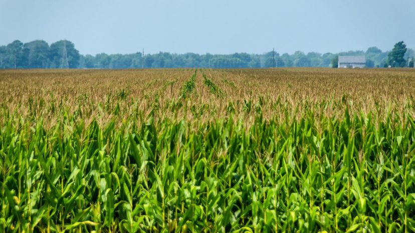
Photograph by Tudor ApMadoc / Moment / Getty Images
Which U.S. state includes the Great Lakes?
Utah
California
Michigan
The Great Lakes split Michigan into two land masses. Michigan's westernmost land mass shares its southern border with Wisconsin, and the easternmost land mass of the state is due north of Indiana and Ohio.
The city of Cleveland lies on the edge of this state's northern rim, opposite Lake Erie. What is the name of the state?
Ohio
Columbus is Ohio's capital city and the state's largest municipality; Cleveland is the state's second-largest. Along with Lake Erie, Ohio shares its northern border with the state of Michigan.
Tennessee, Alabama, Arkansas and Louisiana border this southeastern U.S. state. Can you guess which one it is?
Montana
Oregon
Mississippi
The Gulf of Mexico also borders Mississippi's southernmost edge. The Mississippi River contours the state's northwestern side that it shares with Arkansas and Louisiana.
Lake Barkley, Ohio River and Rough River Lake are just several of the many waterways you'll find in this state. Can you identify the state?
Minnesota
Montana
Idaho
Kentucky
Sections of the massive Mississippi River border Kentucky's western edge, a southwest border that it shares with Missouri. Kentucky Lake punctures the border that Kentucky shares with Tennessee, which lies southward.
A major metropolitan city dots the edge that this state shares with Missouri, which lies to the east of the state. What is the name of the state?
Arizona
Kansas
Kansas City, Kansas, is the major metropolitan city located near Missouri. Nebraska borders the northern edge of Kansas; Oklahoma neighbors Kansas to the immediate south; and Colorado rims Kansas' entire western border.
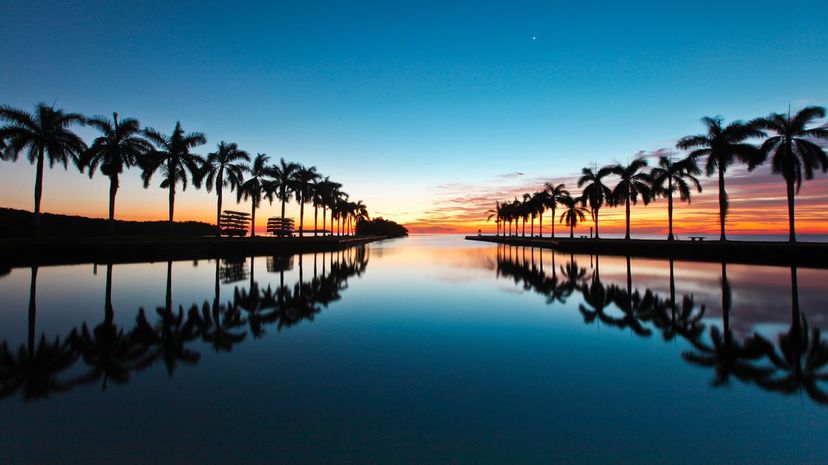
Image courtesy of Jeffrey D. Walters / Moment / Getty Images
Only New Mexico sits in between this state and Mexico. Can you identify this western U.S. state?
Maine
Kentucky
Colorado
Colorado is considered one of the U.S. Mountain states. The state encompasses the Rocky Mountains which span more than 3,000 miles of the Southwestern United States and into western Canada.
Only this state separates Maine from the other contiguous U.S. states. What is the name of this state?
New Hampshire
New Hampshire shares the nation's northeastern-most corner with Maine to the east and Vermont to its immediate west. Massachusetts borders New Hampshire's southern rim.
This state has a small northern edge that borders Canada. Its wider southern edge borders Nevada and Utah. What is the name of this mystery state?
Minnesota
Tennessee
Idaho
British Columbia encompasses the Canadian territory that touches Idaho's northern border. The small provincial town of Creston in British Columbia is approximately 250 miles north of Orofino, Idaho.
Can you identify the state that appears to sever the Ohio-Pennsylvania border?
Nevada
Utah
West Virginia
Ohio lies to the west of West Virginia, and Pennsylvania as well as Maryland share the state's northern border. Virginia and Kentucky rim the state's southern border. Virginia and Maryland also share West Virginia's eastern border.
Which northeast state borders New York to the east and New Hampshire to the west?
Utah
Texas
Vermont
Canada borders Vermont, New York and New Hampshire to the north. Montreal, Canada, lies approximately 130 miles northwest of Vermont's capital city, Montpelier.
Arkansas caps this U.S. southern state, which borders the Gulf of Mexico. Can you guess the state?
California
Colorado
Louisiana
Texas lies to the west of Louisiana and Mississippi hugs Louisiana's eastern edge. In Louisiana, there are approximately 4,600 square miles of water statewide.
With the exception of Tennessee, this state shares the most borders with other contiguous U.S. states. Can you identify the state?
Nevada
Florida
Oregon
Missouri
Missouri shares borders with Kansas to the west, Nebraska to the northwest, Iowa to the north, Illinois to the east, Kentucky and Tennessee to the southeast, Arkansas to the south and Oklahoma to the southwest. The Mississippi River rims Missouri's eastern perimeter.
Matt Anderson Photography / Moment Open / Getty Images
Two of the Great Lakes border this state's north and east regions, and Illinois is positioned immediately south of the state. Can you guess the state's name?
New Mexico
Wyoming
Wisconsin
Lake Superior touches Wisconsin's northern edge, and Lake Michigan hugs the state's eastern shoreline. Lake Winnebago, Wisconsin River and Petenwell Lake are the state's most prominent inland bodies of water.
New York state lies immediately north of this somewhat rectangular-shaped state. Can you identify it?
Pennsylvania
New Jersey and New York share Pennsylvania's eastern border. West Virginia's panhandle region and Ohio lie immediately west of Pennsylvania, and West Virginia, Delaware and Maryland share the states southern border.
North Carolina and Georgia are the only two states that border which U.S. state?
Arkansas
Montana
South Carolina
The Atlantic Ocean lines on South Carolina's southeast edge. Its most populous city, Charleston, lies approximately 106 miles northeast of Savannah, Georgia.
Trenton is the capital city of which northeast U.S. state?
Ohio
New Jersey
The south and southeast regions of New Jersey jut into the Atlantic Ocean. The state is also surrounded by New York to the north, and Pennsylvania and Delaware to the west.
Idaho, Wyoming, South Dakota and North Dakota surround this U.S. state. Can you identify it?
Utah
Montana
Canada lies immediately north of Montana. Idaho covers Montana's western edge, Wyoming and Idaho border its southern rim, and it shares its eastern border with North Dakota and South Dakota.
Florida is the only state that comes between portions of this state and the Gulf of Mexico. Can you identify this state?
Alabama
Alabama is surrounded by Mississippi to its west, Tennessee to the north, Georgia on the east and Florida at the southern edge. One-quarter of Alabama's southern border rims the Gulf of Mexico.
Which northern Midwestern state borders South Dakota's entire northern rim?
Texas
Arkansas
North Dakota
North Dakota is sandwiched between Canada to its north and South Dakota to its south. The state's western area includes some of the Great Plains region of the United States.
Which state is not a part of the contiguous U.S. states, and lies on the east side of the Bering Strait with Asia to the west?
Vermont
Maine
Tennessee
Alaska
Alaska lies in the northwest periphery of the North American continent. Four bodies of water surround the state's northern, western and southern perimeters: Beaufort Sea, Chukchi Sea, Bering Sea and Gulf of Alaska.
Which state rests along the northern rim of Texas?
Oklahoma
The capital of Oklahoma, Oklahoma City, lies approximately 205 miles north of Dallas, Texas. Red River and Lake Texoma engulf a small section of the Oklahoma-Texas border.
It's the only U.S. state that's due north of California. What is the name of the state?
Nevada
Wyoming
Oregon
Goose Lake swells the eastern portion of the Oregon-California border, and the Klamath Mountains and Cascade Range span much of the other portion. Oregon is surrounded by Washington state to its north, Idaho to the east, and Nevada and California at its southern edge. The Pacific Ocean borders Oregon's western shoreline.
Pennsylvania is the only U.S. state that sits atop this state. Can you identify this state?
Mississippi
Maryland
Maryland surrounds the mouth of the Chesapeake Bay, which includes many rivers, such as Chester River, Gunpowder River and North East River. Maryland is surrounded by Delaware to the east, Virginia and the District of Columbia to the south, and Virginia and West Virginia to the west.
This U.S. state is one of four that border Mexico to the north. New Mexico, Oklahoma, Arkansas and Louisiana also share borders with this western U.S. state. Can you guess which state it is?
Montana
Texas
Texas is the second-largest U.S. state by population and by land area. Texas is one of five states that border the Gulf of Mexico to the inlet's north.
This U.S. state's capital city lies approximately 146 miles east of Birmingham, Alabama. What is the name of the mystery state?
Texas
California
Georgia
Georgia shares part of its eastern border with the Atlantic Ocean. Lake Lanier is one of the state's inland bodies of water. Chattahoochee National Forest stamps a little more than half of Georgia's northern border, which the state shares with Tennessee.
Sky Noir Photography by Bill Dickinson / Moment / Getty Images
Which is the only state that shares its southern border with North Carolina?
Virginia
Richmond is Virginia's capital city, and it lies roughly 150 miles northeast of Durham, North Carolina. Maryland and the Atlantic Ocean border Virginia's eastern edge, and West Virginia and Kentucky rim Virginia's western border. In addition to North Carolina, Tennessee lines Virginia's southern border.
But for its southwest corner, this state is almost rectangular in shape. Can you guess which state shares borders with Wyoming, South Dakota, Iowa, Missouri, Kansas and Colorado?
Nebraska
Lincoln is the capital city of Nebraska and lies in the state's southeast region. McConaughy Lake is one of Nebraska's larger bodies of water, but the state has many smaller lakes.
Can you identify the U.S. state that is one of six New England states, and contains the Quabbin Reservoir?
Arkansas
Massachusetts
The Quabbin Reservoir is the largest body of water within the entire state of Massachusetts; the Atlantic Ocean rims the state's eastern shoreline. The Quabbin Reservoir spans approximately 38 square miles of the state's western-central region.